-
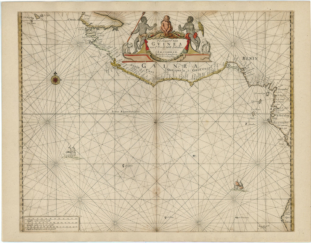
Title: Paskaart van Guinea van C. Verde tot R. De Galion
- Author: Hendrick Doncker
- Date: c. 1665
- Medium: Hand-colored copperplate engraving
- Condition: Very Good - light age toning and foxing, discoloration along issued center fold, original coloring, map trimmed and laid to paper
- Inches: 24 x 18 1/2 [Paper]
- Centimeters: 60.96 x 46.99 [Paper]
- Product ID: 315087
Paskaart van Guinea van C. Verde tot R. De Galion. t'Amsterdam. Bÿ Hendrick Doncker in de Nieuwbrugsteeg.
"Chart of Guinea from Cape Verde to R. De Galion. Amsterdam. By Hendrick Doncker in the New Bridge Alley."
Map of the West Coast of Africa showing present-day Guinea, Guinea-Bissau, Ghana, Togo, Benin, Nigeria, Sierra Leone, Liberia, Côte d'Ivoire, Cameroon, Equatorial Guinea, Gabon, the Congo, and part of Angola. Title cartouche shows a European interpretation of the region's indigenous people with native flora and fauna.
Hendrick Doncker (1626-1699) was a Dutch cartographer, bookseller, and publisher of sea charts and nautical atlases in Amsterdam. He started his business at age 22 and ran his shop successfully for 50 years. Doncker was known for producing his own accurate and regularly updated maps, rather than copying from others. His most significant work was the "Zee-Atlas" (Sea Atlas) first published in 1659. After his death, Doncker's remaining stock and map plates were acquired by Johannes van Keulen.


