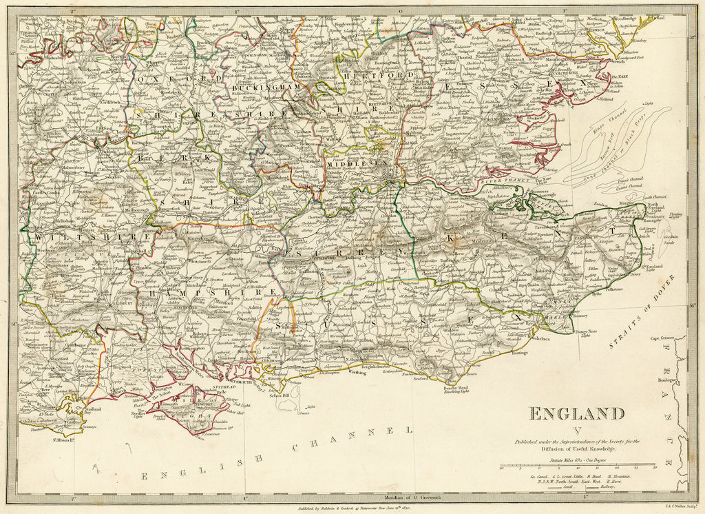
- Title: England V
-
Author: SDUK
- Date: 1830
- Medium: Hand-colored engraving
- Condition: Very Good Plus - age toning, light surface dirt
- Inches: 16 x 13 [Paper]
- Centimeters: 40.64 x 33.02 [Paper]
- Product ID: 319055
Map of southeastern England published by the Society for the Diffusion of Useful Knowledge [SDUK]. Features the city of London, the Isle of Wight, the English Channel, and the Straits of Dover.


