
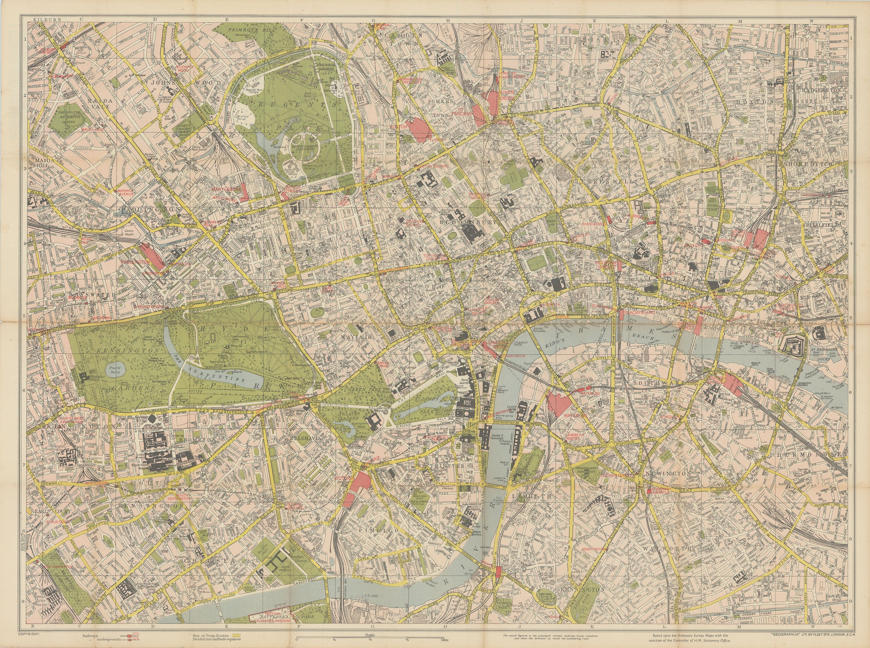
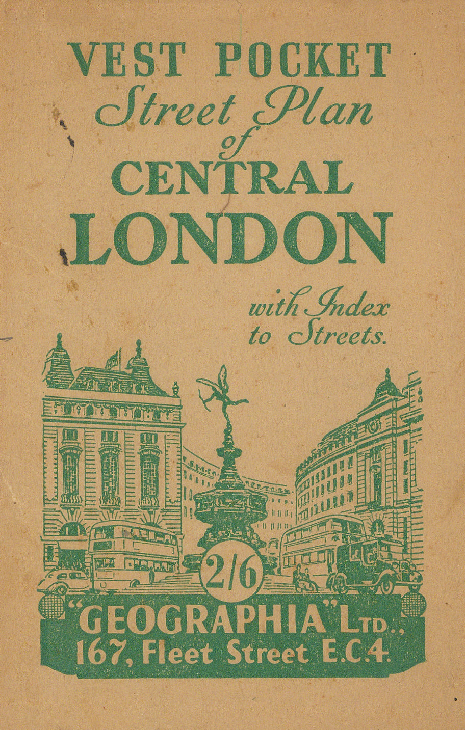
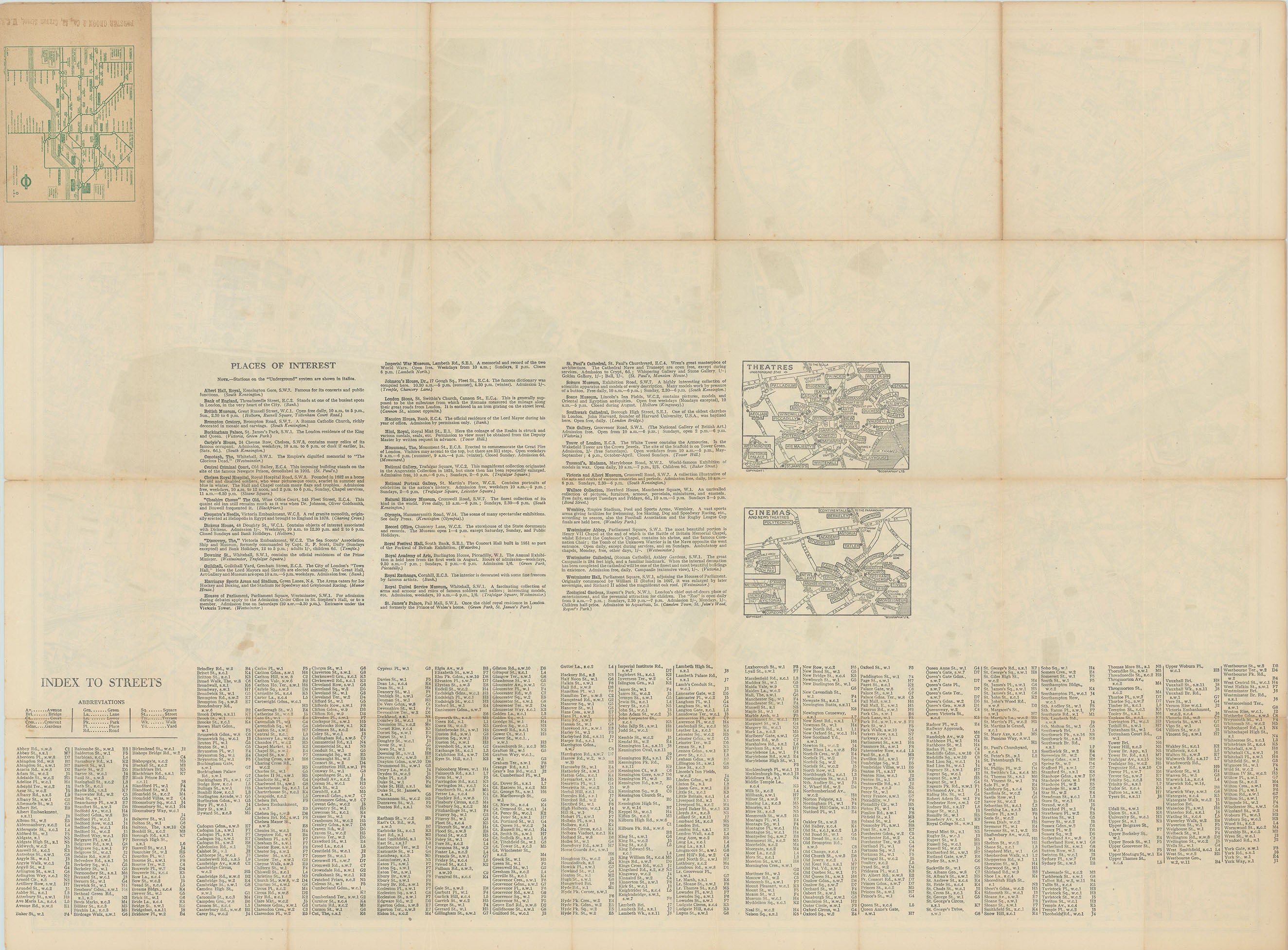
- Title: Vest Pocket Street Plan of Central London
- Author: Geographia Ltd.
- Date: c. 1955
- Medium: Chromolithograph
- Condition: Very Good Plus - light age toning, some minor wear along issued folding, original paperback binding
- Inches: 25 7/8 x 19 1/8 [Paper]
- Centimeters: 65.72 x 48.58 [Paper]
- Product ID: 319000
Folding map of the city of London dating to c. 1955. Marks rail, bus, and underground routes, and labels major buildings and institutions. Shows locations such as Hyde Park, Kensington Gardens, St. James's Park, Southwark, Regent's Park, and Battersea Park, among others.