
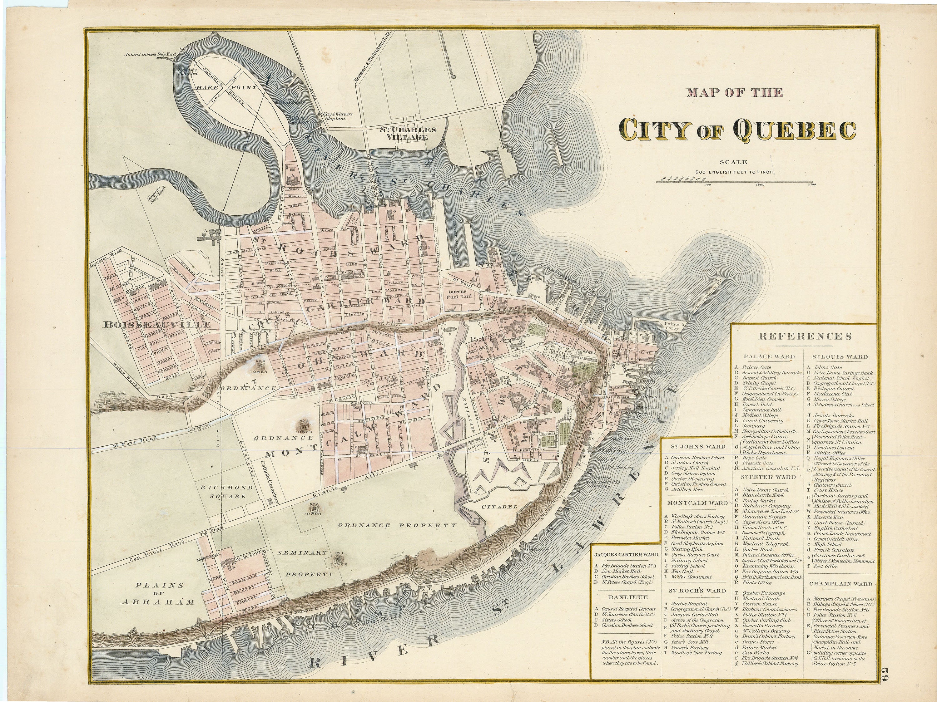
- Title: Map of the City of Quebec
- Author: Walker & Miles
- Date: c. 1875
- Medium: Hand-colored engraving
- Condition: Very Good Plus - light age toning and foxing, a few small tears and minor creasing in margins, paper loss top left corner
- Inches: 17 7/8 x 13 1/2 [Paper]
- Centimeters: 45.4 x 34.29 [Paper]
- Product ID: 315078
Plan of the city of Quebec along the banks of the St. Charles and St. Lawrence Rivers. Includes a legend indicating major buildings and sites of the city's various wards: Jacques Cartier, Banlieue, St. John's, Montcalm, St. Roch's, Palace, St. Peter, St. Louis, and Champlain.