
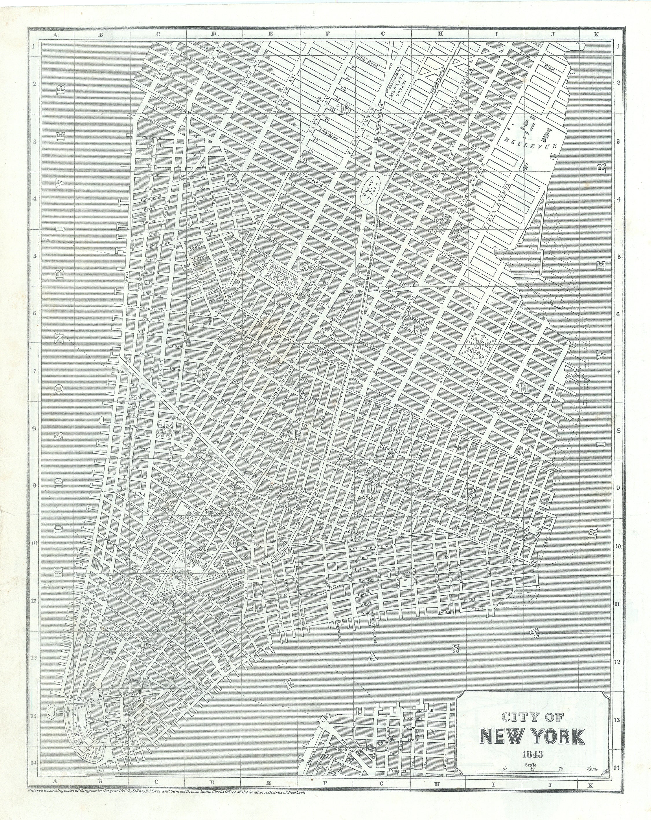
- Title: City of New York
- Author: Sidney Edwards Morse
- Date: 1843
- Medium: Lithograph
- Condition: Good, some light foxing mostly noticeable on verso, minor tears in left margin
- Inches: 16 x 13 1/14 [Paper]
- Centimeters: 40.64 x 33.65 [Paper]
- Product ID: 308073
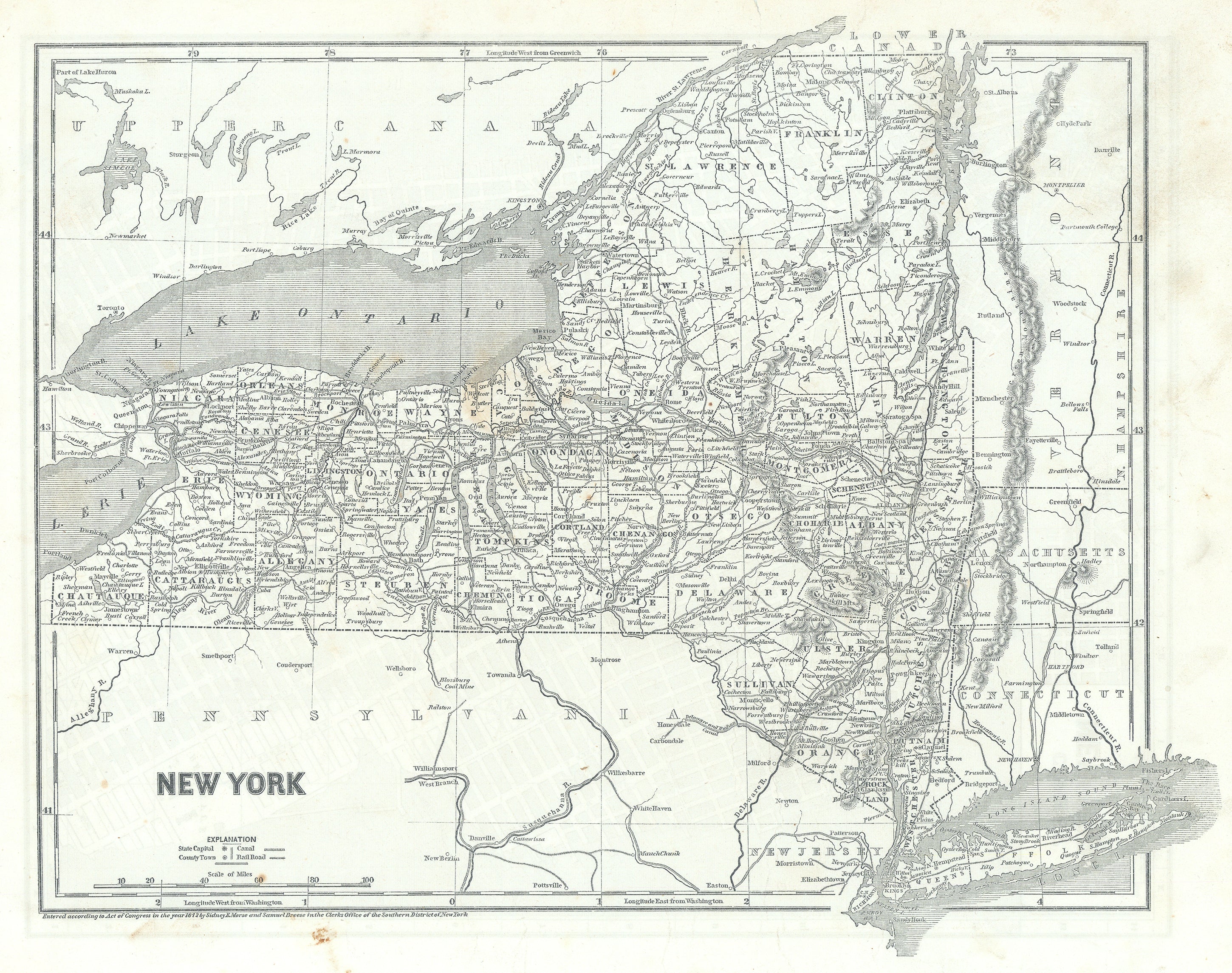
This map of New York City was first issued in a three part supplement published from 1842-1845, as the Cerographic Atlas of the United States. The present map is from the 1843 supplement, with New York state on the verso. Shows the City from the Battery to approximately 18th Street north, with further streets to 34th truncated and increasingly pinched out to the east. Shows just a hint of Brooklyn’s historic area of Gairville (presently DUMBO) and Brooklyn Heights. The City is divided into 17 Wards, with dotted lines for boundaries. The 1st Ward is shown extending from Liberty-street, and the east end of Maiden-lane, south to the extremity of the Island, including Governor's, Bedlow's, and Ellis's, Islands. At the time, wards elected one Alderman, one Assistant Alderman, two Assessors, one Collector, and two Constables.
Sidney Edwards Morse (1794 – 1871) was an American geographer, journalist, and inventor. He shared his innovative spirit with his brother, Samuel F.B. Morse, and his father Jedidiah Morse, who published the first geography book in the United States in 1784. He was born in Charlestown, Massachusetts, graduated from Yale College at fourteen, studied theology at Andover and law at Litchfield, and at sixteen began writing for a Boston newspaper. In 1823 he and his brother Richard established the New York Observer, which was widely hailed the foremost religious paper in the country at the time. Morse took an active interest in science, geography and exploration. He was among the earliest to use the printing process known wax engraving, or cerography, for which he received the U.S. patent.
His best-known works are A New System of Modern Geography (1823), the North American Atlas, the Bible Atlas, and a series of general maps. For several years the sales of the two first- mentioned works averaged 70,000 copies annually, and more than 500,000 copies of his System of Modern Geography were printed.
Reference: New-York as it is : containing a general description of the City of New-York…; 1833, Tanner (from the Internet Archive, https://archive.org/, accessed 7-1-2022)