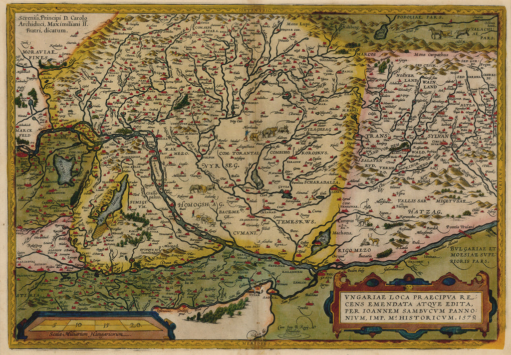
- Title: Ungariae Loca Praecipua
- Author: Abraham Ortelius
- Date: 1579
- Medium: Hand-colored copperplate engraving
- Condition: Very Good Plus - age toning, light wear and discoloration along issued center fold
- Inches: 20 1/4 x 14 [Image]
- Centimeters: 51.4 x 35.5 [Image]
- Product ID: 233049
Ungariae Loca Praecipua Recens Emendata Atque Edita, Per Ioannem Sambucum Pannonium, Imp. Ms. Historicum. 1579.
Sereniss. Principi D. Carolo Archiduci, Maximiliani II. Fratri, dicatum.
"The Particular Place of Hungary Recently Amended and Edited, by means of Mr. John Sambucus Pannonius, Printer of History. 1579."
"Dedicated by the Most Serene Prince Charles to his brother, Archduke Maximilian II."
This beautiful hand colored map of Hungary was published in 1579 by pioneer map-maker Abraham Ortelius as part of his Theatrum Orbis Terrarum (Theatre of the World), which is considered the first modern atlas.
The Danube winds through the center of the map. The ancient city of Budapest is depicted to the left of the map's center, while the legendary region of Transylvania is depicted at right. Intricately engraved depictions of people and animals dot the cartographic landscape.


