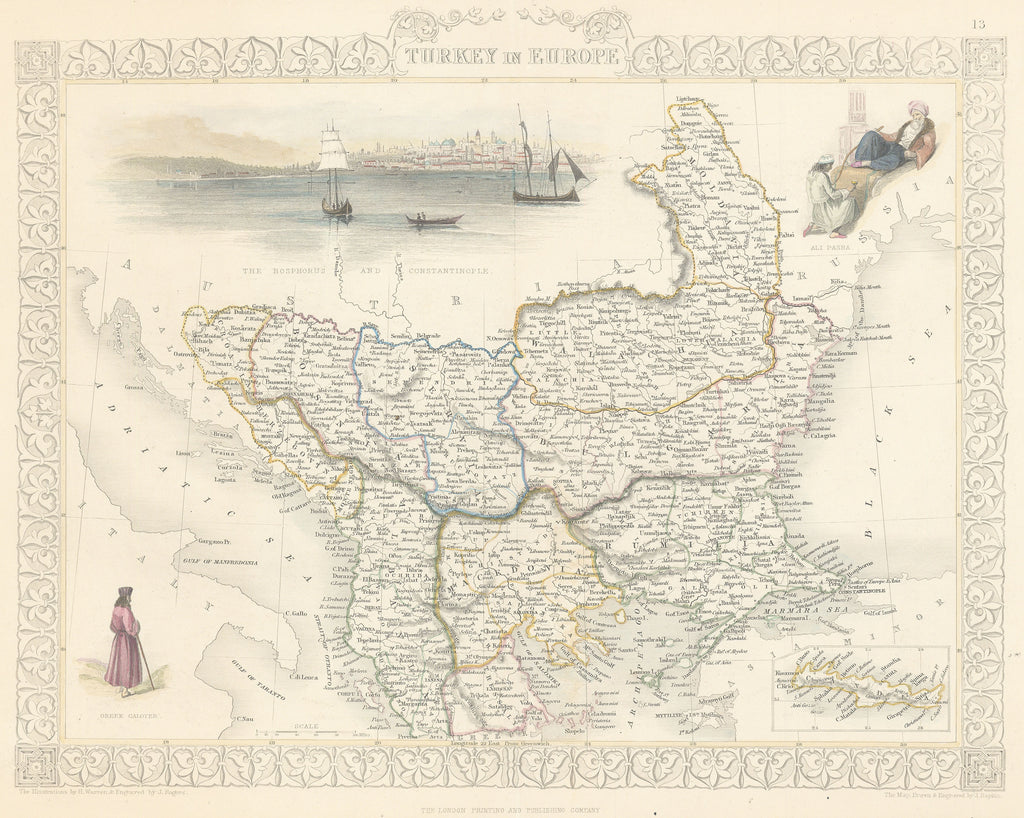
- Title: Turkey in Europe
- Author: John Tallis
- Date: 1850
- Medium: Hand-colored steel engraving
- Condition: Excellent - light age toning, bright, neat hand coloring
- Inches: 14 x 10 1/4 [Image]
- Centimeters: 35.56 x 26.04 [Image]
- Product ID: 100950
Map of the Balkans including present-day Croatia, Monte Negro, Albania, Serbia, Bulgaria, Romania, Bosnia and Herzegovina, and parts of Greece and Turkey. Includes three illustrations titled Ali Pasha, Greek Caloyer, and The Bosphorus and Constantinople. Also contains an inset map of the island of Crete.
John Tallis was an English cartographic publisher born in the United Kingdom in 1817. His firm, John Tallis & Company, was known for publishing maps and atlases among other works on paper in the mid nineteenth century.


