Condition: Very Good - age toning, some marginal paper loss
Inches: 17 1/4 x 28 1/2 [Paper]
Centimeters: 43.82 x 72.39 [Paper]
Product ID: 101293
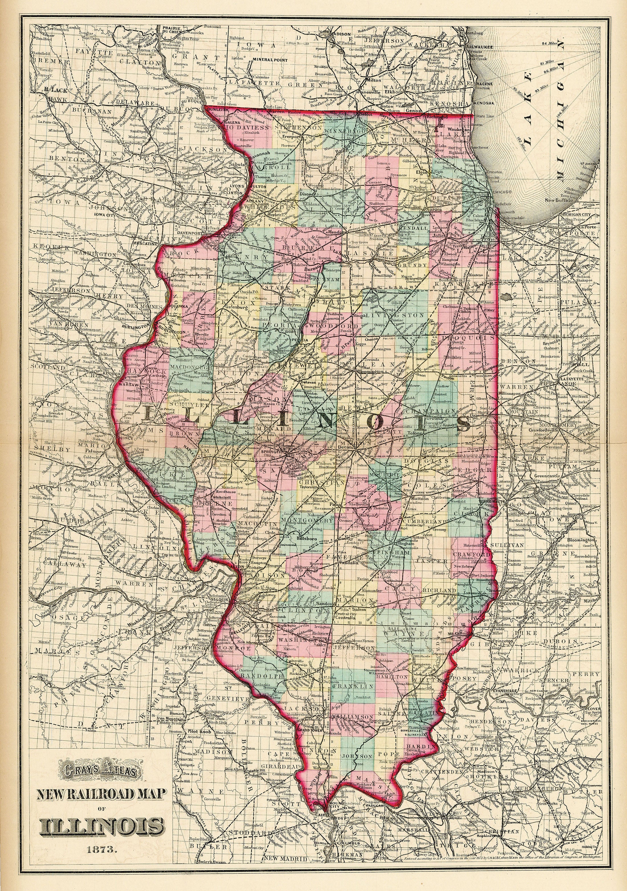
Map of the state of Illinois published by O. W. Gray in 1873. Shows parts of Iowa, Ohio, Missouri, Indiana, Wisconsin, and Lake Michigan, and depicts the railway network of the region. Major junction sites include Chicago, St. Louis, Springfield, Burlington, and Des Moines, among others.