
Collection: North America
A collection of original antique maps of the continent of North America dating between the fifteenth and nineteenth centuries. Regions depicted include Canada, the United States, Mexico, and many of the Caribbean islands.
-
Carte De L'Amerique Du Nord: Andriveau-Goujon, 1841
![]()

- Regular price
- $295.00
- Sale price
- $295.00
- Regular price
-
- Unit price
- per
Sold -
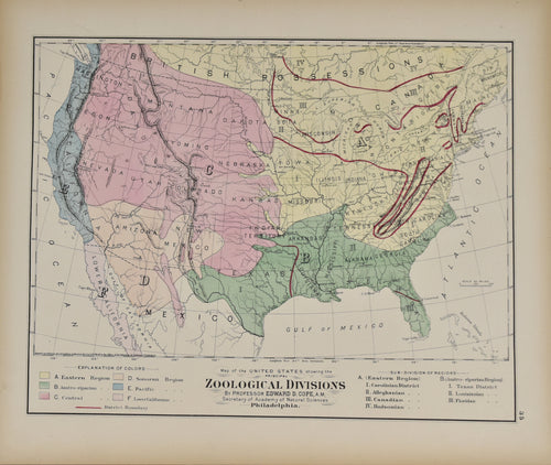
Map of the United States Showing the Zoological Divisions: Gray 1873
![]()
- Regular price
- $65.00
- Sale price
- $65.00
- Regular price
-
- Unit price
- per
Sold -
Map of the United States of America: Andriveau-Goujon, 1841
![]()

- Regular price
- $245.00
- Sale price
- $245.00
- Regular price
-
- Unit price
- per
Sold -
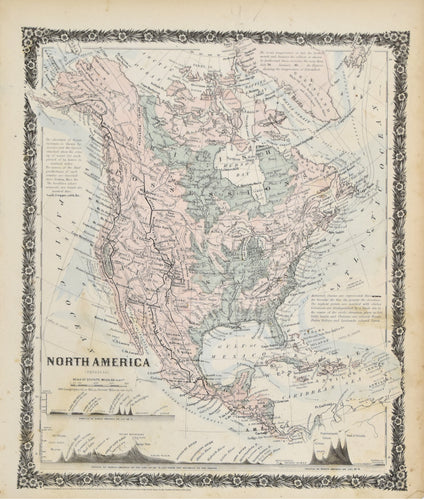
North America: Baker, c.1800
![]()

- Regular price
- $395.00
- Sale price
- $395.00
- Regular price
-
- Unit price
- per
Sold -
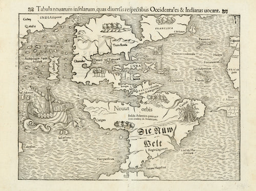
Tabula Novarum Insularum...: Munster 1554
![old map of the new world]()
- Regular price
- $7,995.00
- Sale price
- $7,995.00
- Regular price
-
- Unit price
- per
Sold -
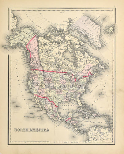
North America: Colton 1856
![Old map of North America]()
- Regular price
- $110.00
- Sale price
- $110.00
- Regular price
-
- Unit price
- per
Sold -
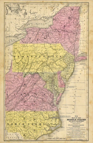
Map of the Middle States: Mitchell 1839
![]()
- Regular price
- $85.00
- Sale price
- $85.00
- Regular price
-
- Unit price
- per
Sold -
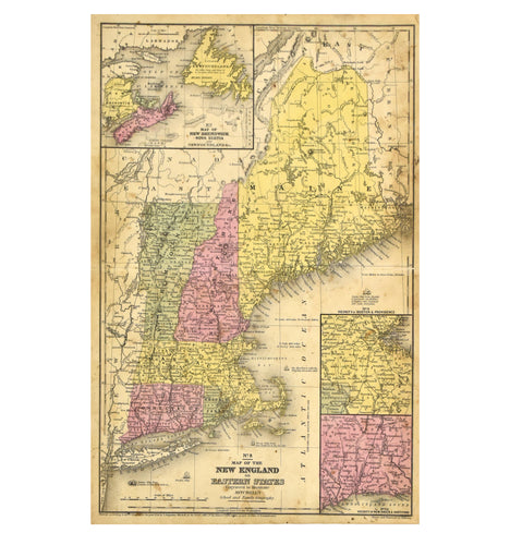
Map of the New England or Eastern States: Mitchell 1844
![]()
- Regular price
- $85.00
- Sale price
- $85.00
- Regular price
-
- Unit price
- per
Sold -
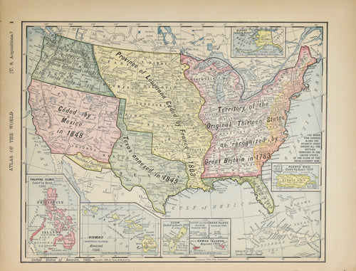
U.S. Acquisitions: Rand, McNally & Co. 1901
![]()
- Regular price
- $75.00
- Sale price
- $75.00
- Regular price
-
- Unit price
- per
Sold -
United States of America: Colton 1859
![]()

- Regular price
- $95.00
- Sale price
- $95.00
- Regular price
-
- Unit price
- per
Sold -
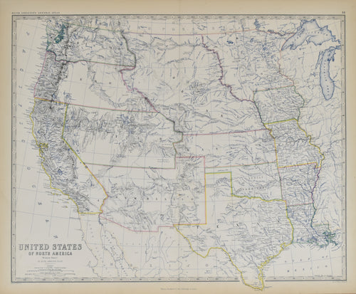
United States of North America (Western States): Johnston c. 1900
![]()
- Regular price
- $150.00
- Sale price
- $150.00
- Regular price
-
- Unit price
- per
Sold -
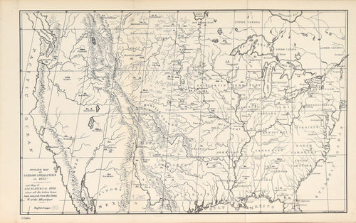
Outline Map of Indian Localities in 1833: Catlin 1886
![]()
- Regular price
- $295.00
- Sale price
- $295.00
- Regular price
-
- Unit price
- per
Sold -
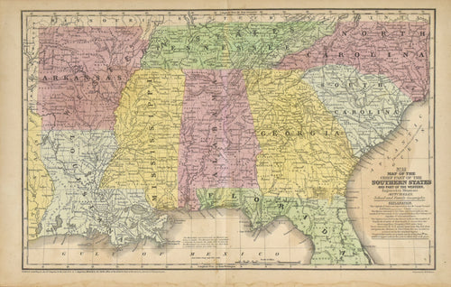
Map of the Chief Part of the Southern States: Mitchell 1852
![]()
- Regular price
- $200.00
- Sale price
- $200.00
- Regular price
-
- Unit price
- per
Sold -
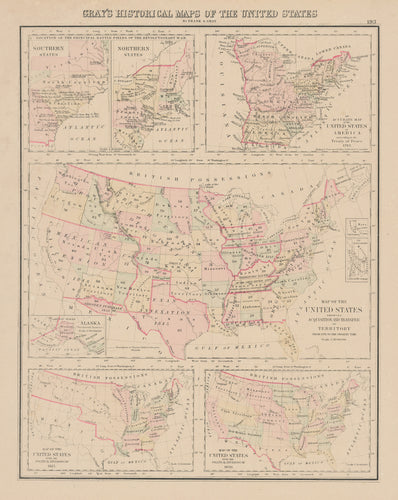
Gray's Historical Maps of the United States: Gray 1883
![]()
- Regular price
- $110.00
- Sale price
- $110.00
- Regular price
-
- Unit price
- per
Sold -
North America (Physical): Colton 1859
![Old map of North America]()
- Regular price
- $95.00
- Sale price
- $95.00
- Regular price
-
- Unit price
- per
Sold -
Map of North America: Mitchell 1852
![]()

- Regular price
- $95.00
- Sale price
- $95.00
- Regular price
-
- Unit price
- per
Sold -
Map of North America: Mitchell 1854
![]()

- Regular price
- $225.00
- Sale price
- $225.00
- Regular price
-
- Unit price
- per
Sold


