Collection: North America
A collection of original antique maps of the continent of North America dating between the fifteenth and nineteenth centuries. Regions depicted include Canada, the United States, Mexico, and many of the Caribbean islands.
-
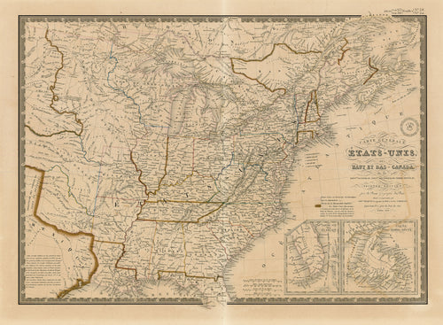
Carte Générale des États-Unis, des Haut et Bas-Canada: Brué, Picquet 1838
![Old map of the United States]()
- Regular price
- $395.00
- Sale price
- $395.00
- Regular price
-
- Unit price
- per
Sold -
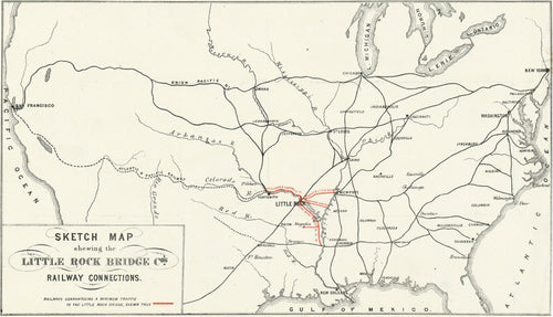
Sketch Map Shewing the Little Rock Bridge Co.'s Railway Connections: c. 1885
![Old railway map of the U.S.]()
- Regular price
- $345.00
- Sale price
- $345.00
- Regular price
-
- Unit price
- per
Sold -
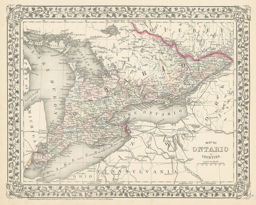
Map of Ontario in Counties: Mitchell 1872
![Old map of Ontario, Canada]()
- Regular price
- $110.00
- Sale price
- $110.00
- Regular price
-
- Unit price
- per
Sold -
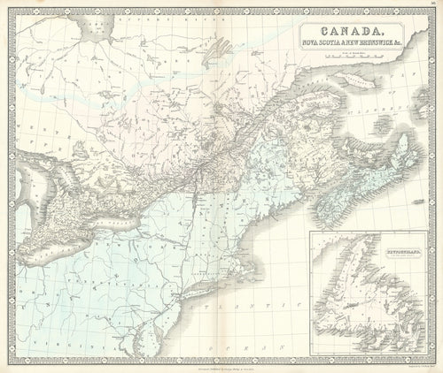
Canada, Nova Scotia & New Brunswick &c.: George Philip & Son 1852
![Old map of Canada]()
- Regular price
- $295.00
- Sale price
- $295.00
- Regular price
-
- Unit price
- per
Sold -
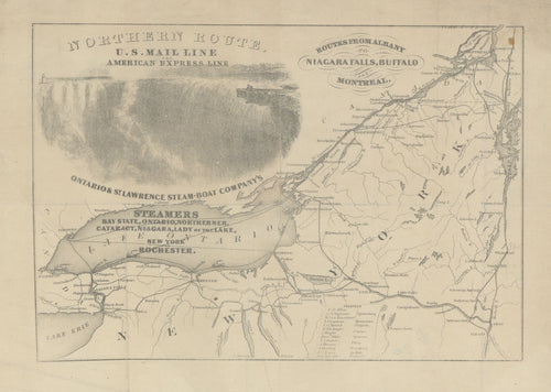
Routes from Albany to Niagara Falls, Buffalo and Montreal: Sherman & Smith 1850
![Old map of Lake Ontario]()
- Regular price
- $95.00
- Sale price
- $95.00
- Regular price
-
- Unit price
- per
Sold -
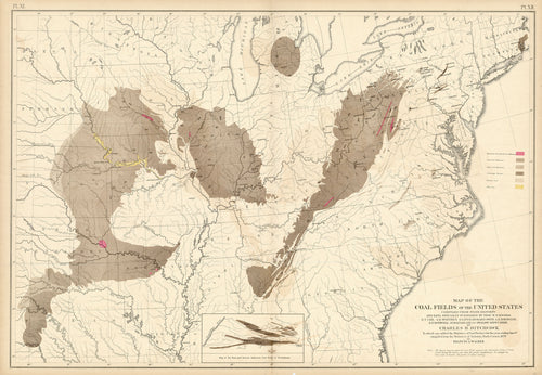
Map of the Coal Fields of the United States: Walker 1874
![Old map of the United States]()
- Regular price
- $195.00
- Sale price
- $195.00
- Regular price
-
- Unit price
- per
Sold -
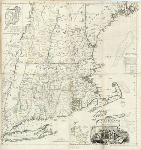
A Map of the Most Inhabited Part of New England: Jefferys 1755 [c. 1768]
![Old map of New England]()
- Regular price
- $16,000.00
- Sale price
- $16,000.00
- Regular price
-
- Unit price
- per
Sold -
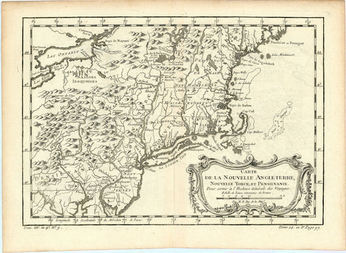
Carte de la Nouvelle Angleterre, Nouvelle Yorck, et Pensilvanie: Bellin 1757
![Old map of New England]()
- Regular price
- $200.00
- Sale price
- $200.00
- Regular price
-
- Unit price
- per
Sold -
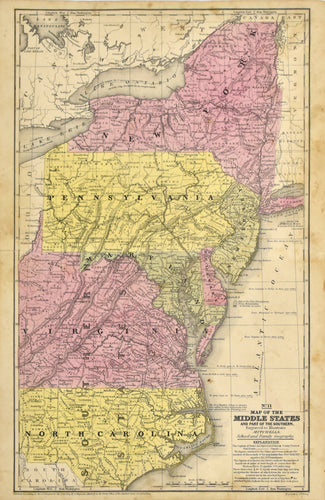
Map of the Middle States: Mitchell 1839
![]()
- Regular price
- $85.00
- Sale price
- $85.00
- Regular price
-
- Unit price
- per
Sold -
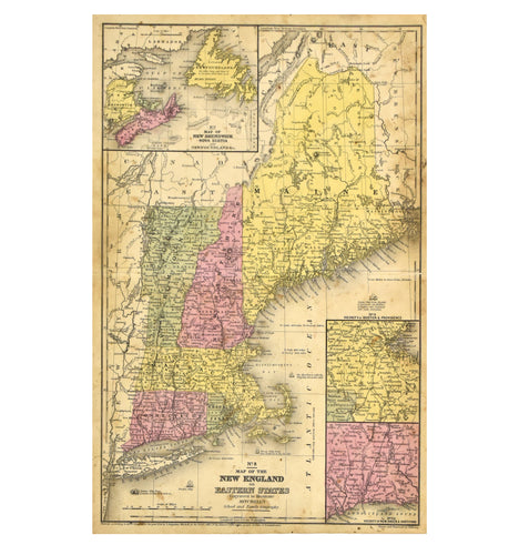
Map of the New England or Eastern States: Mitchell 1844
![]()
- Regular price
- $85.00
- Sale price
- $85.00
- Regular price
-
- Unit price
- per
Sold -
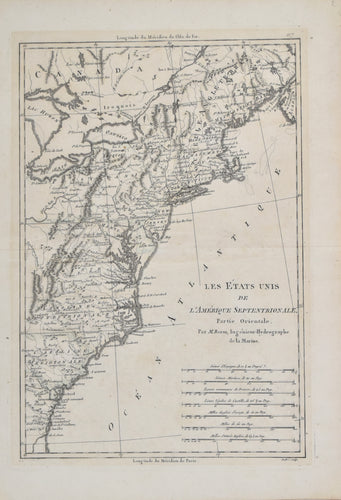
Les États Unis de L'Amérique Septentrionale: Bonne c. 1787
![Old map of the thirteen colonies]()
- Regular price
- $400.00
- Sale price
- $400.00
- Regular price
-
- Unit price
- per
Sold -
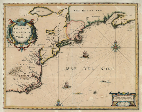
Nova Anglia Novum Belgium et Virginia: Jansson 1639
![Old map of Virginia and New England]()
- Regular price
- $1,695.00
- Sale price
- $1,695.00
- Regular price
-
- Unit price
- per
Sold -
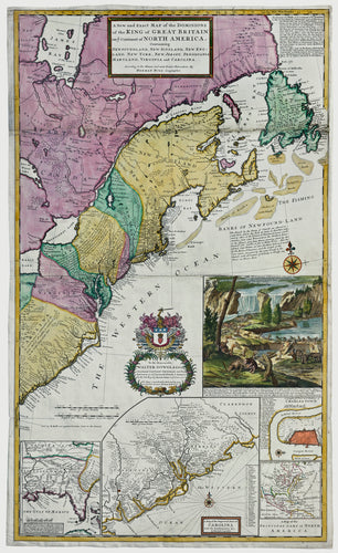
"Beaver Map" Map of the Dominions of the King Of Great Britain on ye Continent of North America: Herman Moll 1715
![Moll Beaver Map First State 1715 Rare Map]()
- Regular price
- $22,000.00
- Sale price
- $22,000.00
- Regular price
-
- Unit price
- per
Sold