
- Title: Carte pour servir a l'Histoire... des Etablissemens et du Commerce des Européens
- Author: Rigobert Bonne
- Date: 1773
- Medium: Hand-colored copperplate engraving
- Condition: Very Good Plus - creasing along top margin, minor scuffing and surface dirt in margins
- Inches: 20 1/8 x 15 1/8 [Paper]
- Centimeters: 51.12 x 38.42 [Paper]
- Product ID: 100663
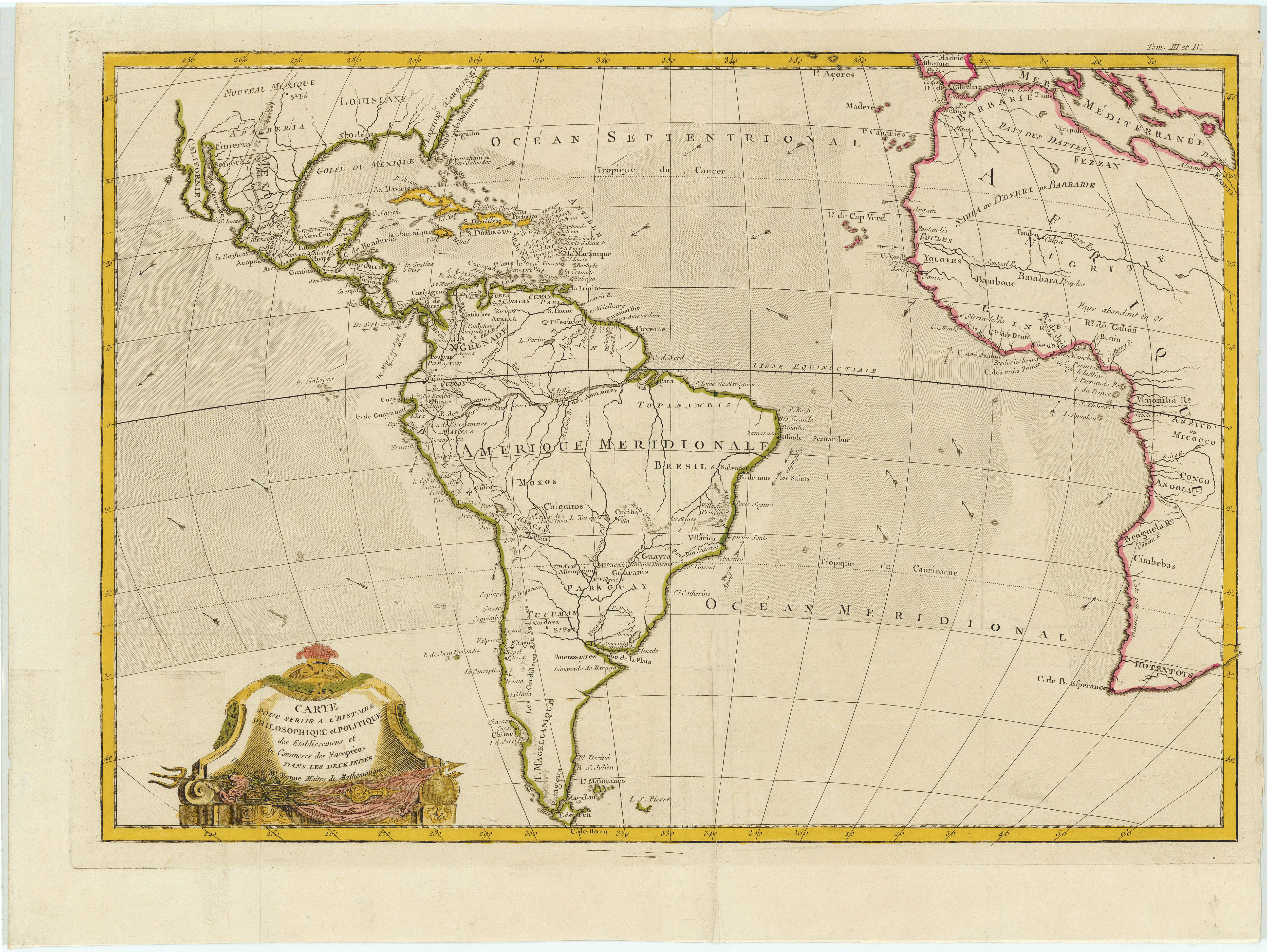
Carte pour servir a l'Histoire Philosophique et Politique des Etablissemens et du Commerce des Européens dans les deux Indes Dresée par Mr. Bonne Maitre de Mathematiques
"Map to serve the Philosophical and Political History of European Settlements and Trade in the two Indies Drawn up by Mr. Bonne Master of Mathematics"
Map by Rigobert Bonne (1727-1795) showing various European colonial territories in the Americas and Africa. Includes labels indicating major settlements, geographic features, and natural resources of the regions in question. Also depicts ocean currents and navigational information.