
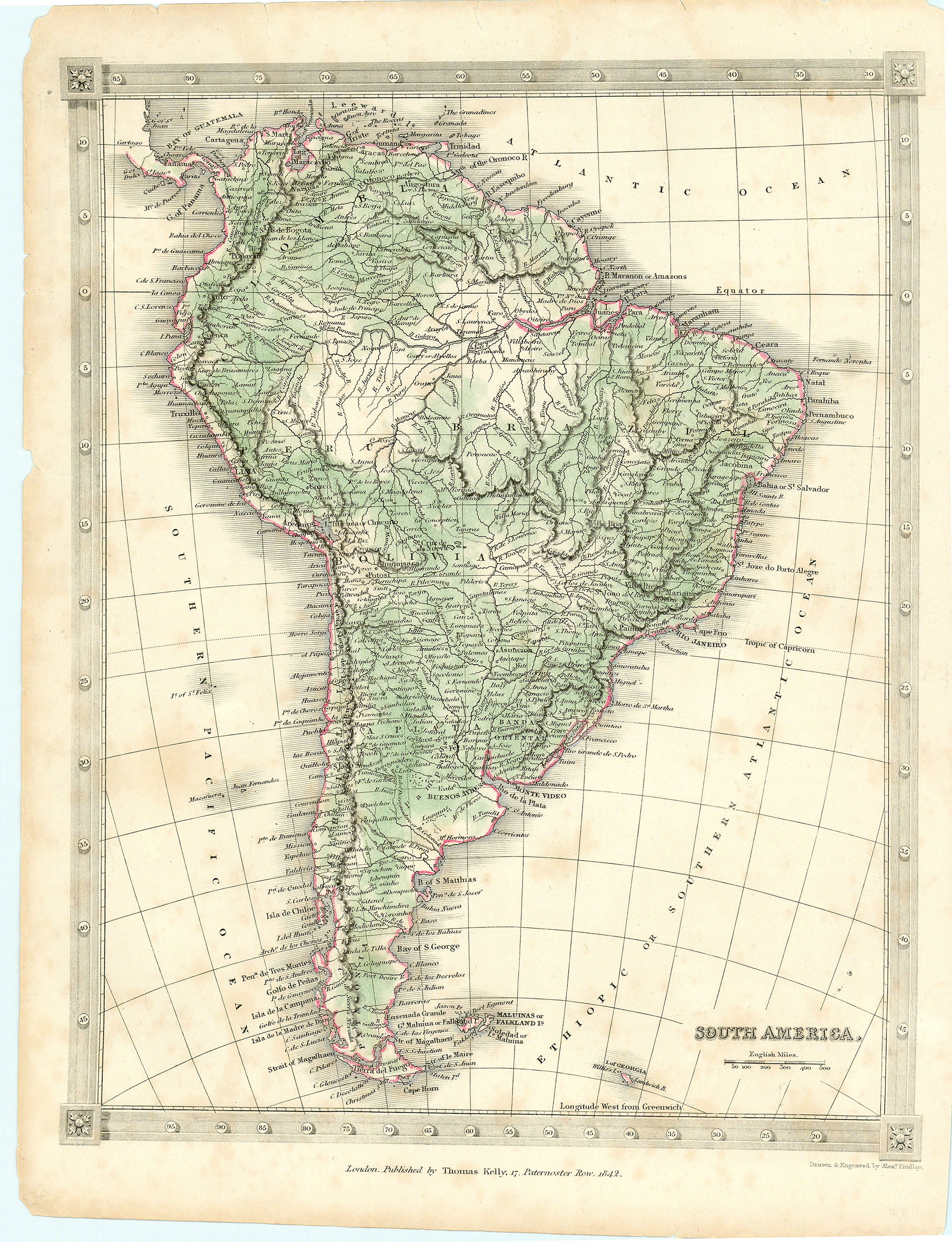
- Title: South America
- Author: Thomas Kelly
- Date: 1842
- Medium: Hand-colored engraving
- Condition: Very Good - light age toning, foxing, paper loss in corners
- Inches: 8 1/4 x 10 7/8 [Paper]
- Centimeters: 20.96 x 27.62 [Paper]
- Product ID: 313012
London. Published by Thomas Kelly. 17. Paternoster Row. 1842.
Map of South America labeling its major regions, cities, and topographic features.
Background on Creator
Thomas Kelly was an active cartographer and engraver in the early to mid-19th century, particularly known for his maps published in London. His works primarily focused on regions in North America and Europe, with noted examples including maps of Canada, Western Canada, and British Colonies in North America, typically dated around 1810–1840.
Kelly also produced engravings, including historical landscapes, such as an 1834 view of St. Petersburg. He collaborated on several map projects, like a notable map of North America from about 1802 that illustrates the continent just before the Lewis and Clark expedition, reflecting some of the period's cartographic misconceptions, especially regarding the elusive Northwest Passage. Kelly is sometimes credited alongside other mapmakers for vintage maps of the United States from this era.