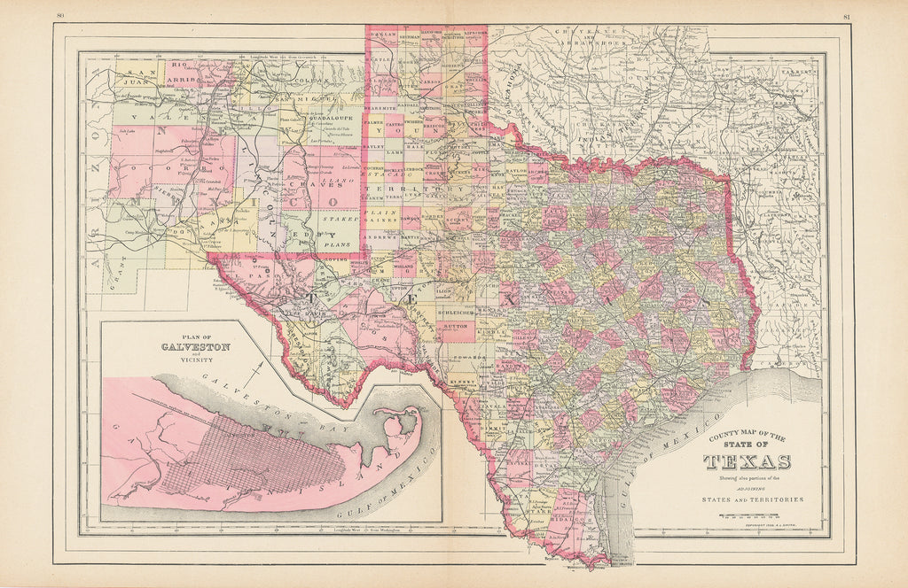
- Title: County Map of the State of Texas
- Author: A.L. Smith
- Date: 1894
- Medium: Lithograph with original color
- Condition: Good, uniform paper toning, small tear upper left corner, upper left corner creased, upper right corner creased, some old tape residue on verso
- Inches: 23 1/2 x 15 1/4 [Paper]
- Centimeters: 59.69 x 38.73 [Paper]
- Product ID: 308071
With inset of the City of Galveston not long before the devastating hurricane of 1900
Clean original color example of a late 19th century county map of the State of Texas. The map is from an atlas by John Wanamaker and is comprised of updated maps originally by Augustus Mitchell, one of the most prolific publishers of maps and atlases in the 19th century.
Mitchell began his publishing business in 1831 and was followed by his son who, In 1860, began publishing the important New General Atlas with updates for two decades before the atlas was taken over by a handful of other publishers. John Wanamaker published his atlas in 1895 with A.L. Smith as the mapmaker.


