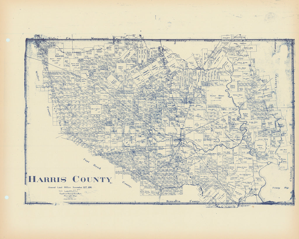
- Title: Harris County
- Author: Texas General Land Office
- Date: c.1910
- Medium: Lithograph
- Condition: See bottom of description
- Inches: 14 x 17 [Paper]
- Centimeters: 35.56 x 43.18 [Paper]
- Product ID: 308212
Scarce Map Showing Harris County, Texas at the End of the Nineteenth Century
Original antique Harris County map published in the atlas Maps of All Texas Counties by Wolf & Bennett in Tulsa Oklahoma. Highly detailed Texas General Land Office map showing land patents, block and tract numbers, landowners, towns, railroads, and portions of adjacent counties where property boundaries extend beyond county limits.
There is some debate regarding the date of this atlas. We rely on The Portal to Texas History which dates the atlas to c. 1927. Maps from the collections held at the University of Texas at Arlington are provided to The Portal to Texas History, a digital repository hosted by the UNT Libraries.
Harris County traces its Anglo history to Stephen F. Austin’s original grant as a Mexican Empresario allowed to settle colonists in Texas. Although the original settlers wrongly assumed the area was part of Austins Colony, they successfully petitioned later for inclusion in the colony. In 1826, John R. Harris laid out Harrisburg on his league where Brays Bayou joined Buffalo Bayou, the head of navigation. Thus began one of the most successful stories of settlement in the annals of American history. Volumes of popular and scholarly effort have been written about this, the most populous, diverse, and economically successful county in the state of Texas.
In the past ten years, this is only the third Harris County GLO map we have handled, and it is by far the best example.
Condition
Light age toning, else perfect, with two original binding holes at left.


