
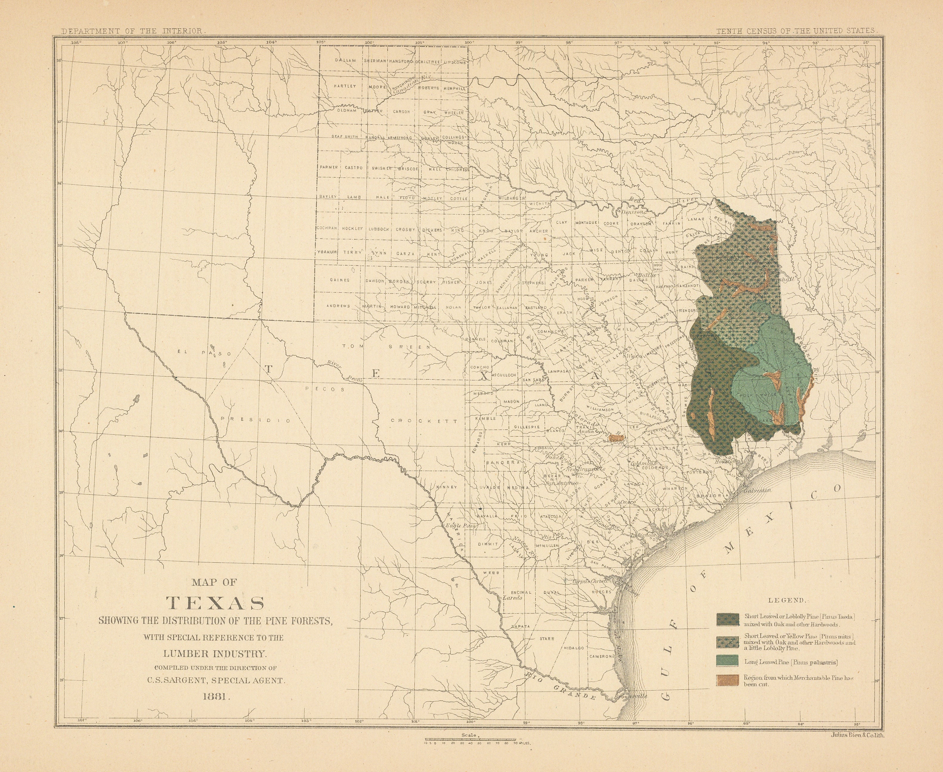
- Title: Map of Texas showing the distribution of the pine forests...
- Author: C. S. Sargent
- Date: 1881
- Medium: Chromolithograph
- Condition: Very good, mild uniform toning throughout, one repair at top margin not in image, one crease in left margin
- Inches: 11 1/2 x 8 7/8 [Paper]
- Centimeters: 29.21 x 22.54 [Paper]
- Product ID: 308086
Map of Texas showing the distribution of Pine Forests with special reference to the Lumber Industry. Completed under the direction of C. S. Sargent, special agent 1881. Ex Department of Interior, 10th Census of the US. A county map color coded to show Loblolly Pine mixed with Oak and other hardwoods, yellow pine mixed with Oak and other hardwoods, long leaved pine and region that "has been cut".