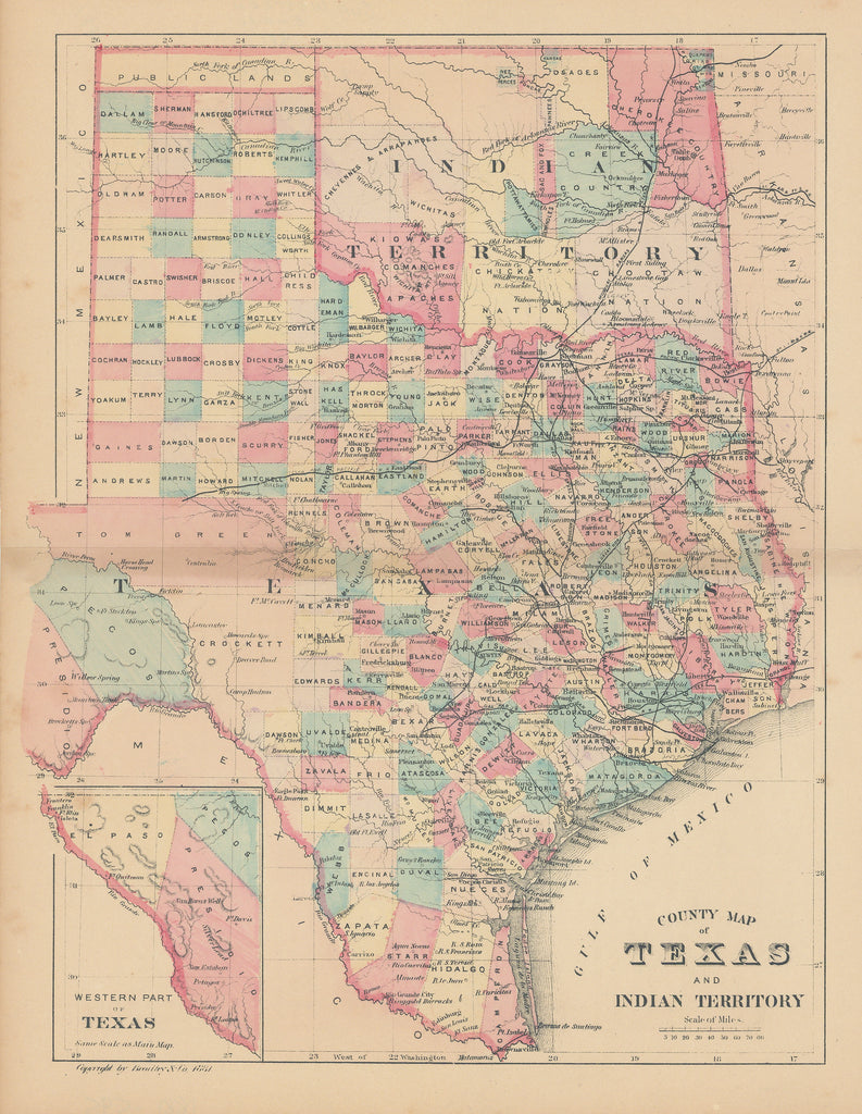
- Title: County Map of Texas and Indian Territory
- Author: Bradley & Co.
- Date: 1881
- Condition: Good - even toning, staining at center fold
- Inches: 11 1/8 x 8 3/4 [Image]
- Centimeters: 28.26 x 22.23 [Image]
- Product ID: 308124
Surprisingly Rare Map of Texas
Petite, but highly detailed, map of Texas. Issued by the little-known firm of Bradley & Co. Map shows each county in full hand color, which is unusual for this late date, and depicts towns, villages, railroads, watersheds, topography and more.
The Bradley-Garretson Company Limited originated in Philadelphia as the Bradley Company or Wm. M. Bradley & Bro. They were involved in subscription book publishing and published "Standard religious books". They also published Mitchell’s New General Atlas between 1880 and 1887. They are also known for publishing world atlases under their own imprint (1886,1893), an Atlas of the Western Hemisphere (1887) and the Pocket Atlas of the United States (1888).


