
Collection: United States
A collection of antique maps depicting the fifty United States, colonial North America, and Indian Territories. Includes pieces sourced from atlases produced by cartographers such as Asher & Adams, Alvin J. Johnson (A. J. Johnson), J. H. Colton & Co, Augustus Mitchell, Tunison, Rand, McNally & Co, Funt & Eaton, George Cram, Smith, the U.S. Geological Survey, and others.
-
A Map of New England and New York: Speed, 1675[76]
![]()

- Regular price
- $6,995.00
- Sale price
- $6,995.00
- Regular price
-
- Unit price
- per
Sold -
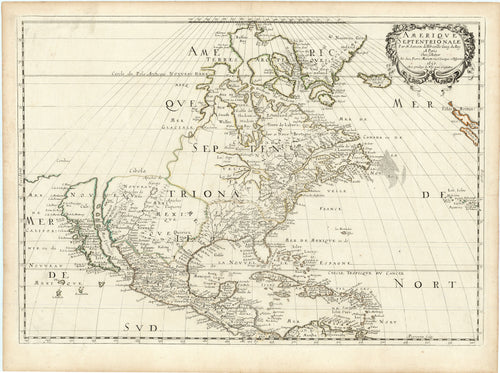
Amerique Septentrionale: Sanson 1650 [1659]
![Old map of North America]()
- Regular price
- $8,500.00
- Sale price
- $8,500.00
- Regular price
-
- Unit price
- per
Sold -
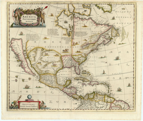
America Septentrionalis: Jansson 1641
![Old map of North America]()
- Regular price
- $5,500.00
- Sale price
- $5,500.00
- Regular price
-
- Unit price
- per
Sold -
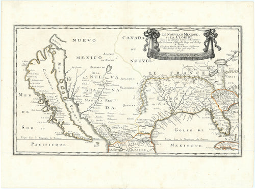
Le Nouveau Mexique, et la Floride: Sanson 1656
![Old map of North America]()
- Regular price
- $7,500.00
- Sale price
- $7,500.00
- Regular price
-
- Unit price
- per
Sold -
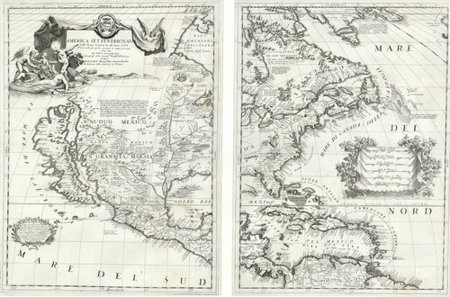
America Settentrionale: Coronelli 1688
![Old map of North America]()
- Regular price
- $16,000.00
- Sale price
- $16,000.00
- Regular price
-
- Unit price
- per
Sold -
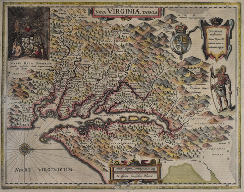
Nova Virginiæ Tabula: Blaeu 1665
![]()
- Regular price
- $2,500.00
- Sale price
- $2,500.00
- Regular price
-
- Unit price
- per
Sold -
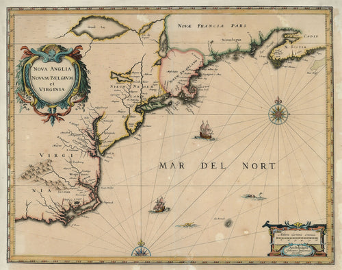
Nova Anglia Novum Belgium et Virginia: Jansson 1639
![Old map of Virginia and New England]()
- Regular price
- $1,695.00
- Sale price
- $1,695.00
- Regular price
-
- Unit price
- per
Sold -
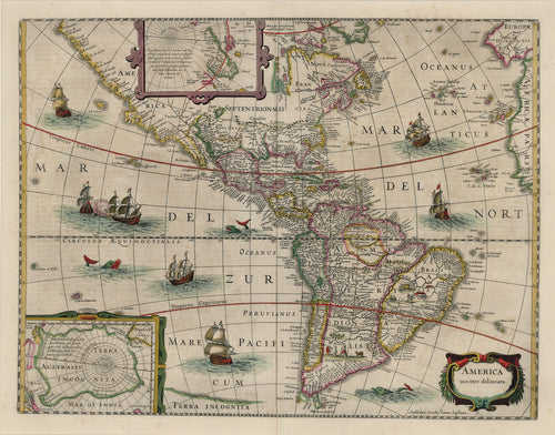
America Noviter Delineata: Jansson 1654
![Old map of North and South America]()
- Regular price
- $2,550.00
- Sale price
- $2,550.00
- Regular price
-
- Unit price
- per
Sold


