
Collection: United States
A collection of antique maps depicting the fifty United States, colonial North America, and Indian Territories. Includes pieces sourced from atlases produced by cartographers such as Asher & Adams, Alvin J. Johnson (A. J. Johnson), J. H. Colton & Co, Augustus Mitchell, Tunison, Rand, McNally & Co, Funt & Eaton, George Cram, Smith, the U.S. Geological Survey, and others.
-
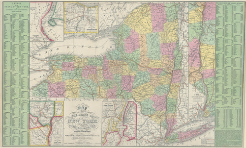
Map of the State of New York: Thomas, Cowperthwait & Co. 1852
![]()
- Regular price
- $175.00
- Sale price
- $175.00
- Regular price
-
- Unit price
- per
Sold -
Carte De La Louisiane Et Du Cours Du Mississipi "The Map That Named Texas"
![]()

- Regular price
- $6,375.00
- Sale price
- $6,375.00
- Regular price
-
- Unit price
- per
Sold


- Previous page
- Page 17 of 17