-
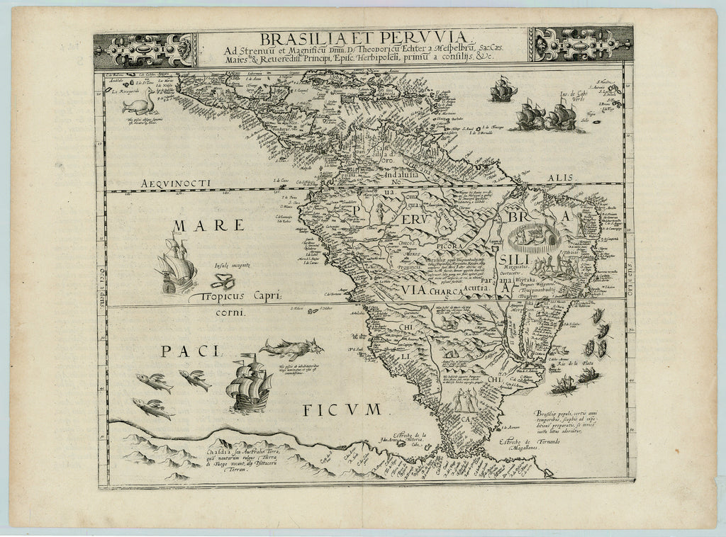
Title: Brasilia et Peruvia
- Author: Cornelis de Jode
- Date: 1593
- Medium: Copperplate engraving
- Condition: Excellent - issued center fold, small tear/ minor paper loss lower right corner
- Inches: 21 7/8 x 16 1/8 [Paper]
- Centimeters: 55.56 x 40.96 [Paper]
- Product ID: 315080
Brasilia et Peruvia. Ad Strenuu et Magnificu Dnm. D. Theodoricu Echter a Mesthelbru, Sac. Caes. Maiesti. & Reverediss. Principi, Episc. Herbipolesi, primu a confilijs. &c.
"Brazil and Peru. To the vigorous and magnificent Theodoricus Echter of Mespelbrunn, Sacred, Caesar, Majestic & Most Revered Prince Bishop of Herbipolis [Würzburg], first among advisers, &c."
Superb example of Cornelis de Jode's second map of South America. de Jode's map is one of the earliest to display South America alone and is also the earliest Dutch map of the continent. The map exhibits in fine detail the known and explored regions of South America, which had been heavily mapped and explored by the Spanish and Portuguese by the late 16th Century. The map is among very few which reference the Straits of Magellan by its earlier name, Estrecho de la Victoria, the name used by Antonio Pigafetta in his description of Magellan's voyage, named for Magellan's flagship, which is illustrated to the west of the Strait. The map also presents detailed information and annotations on the Unknown Southern Continent to include several place names and annotations.


