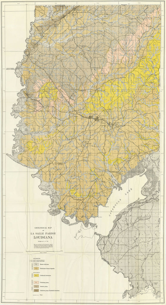
- Title: Geological Map of La Salle Parish Louisiana
- Author: H. N. Fisk
- Date: 1938
- Medium: Chromolithograph
- Condition: Very Good - folded
- Inches: 23 3/4 x 43 3/4 [Paper]
- Centimeters: 60.33 x 111.13 [Paper]
- Product ID: 319046
Geological map of La Salle Parish in central Louisiana. Shows formations from the Quaternary, Miocene, Oligocene, and Eocene Periods, differentiated by color. Also depicts Catahoula Lake.


