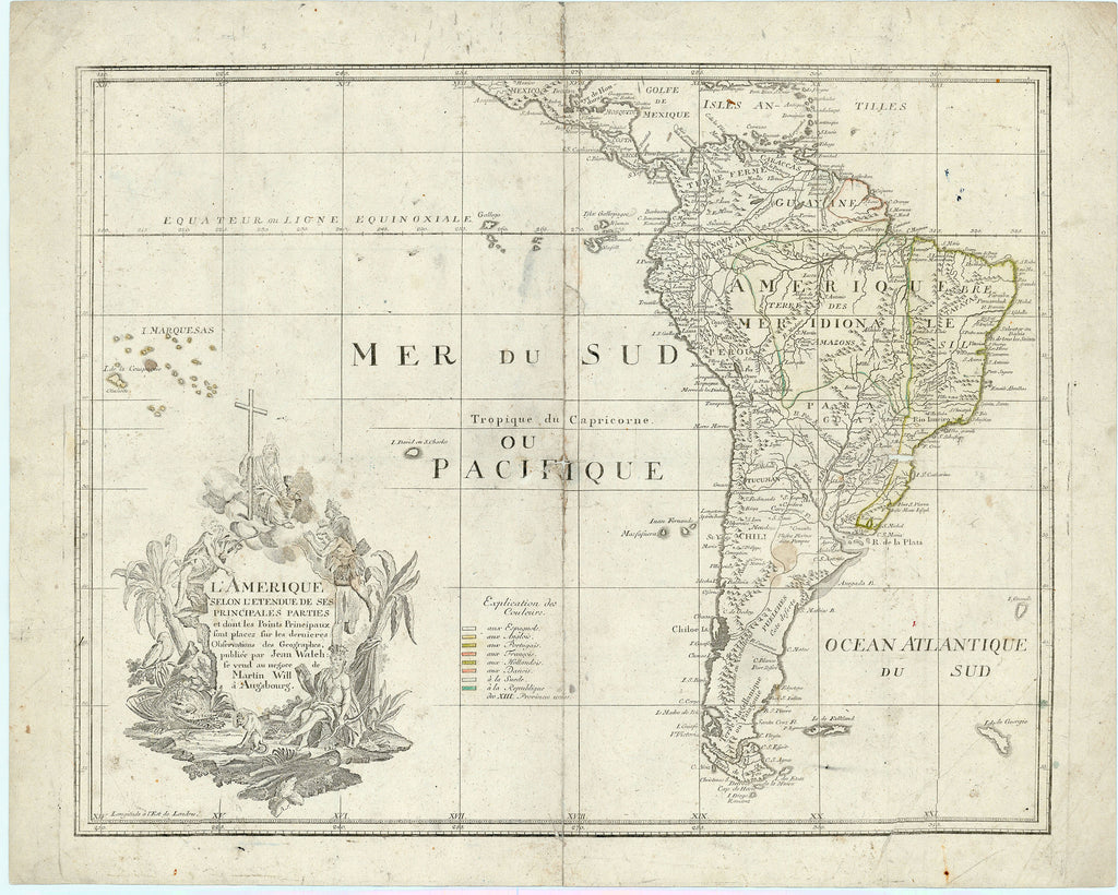
- Title: L'Amerique Selon l'Etendue de ses Principales Parties
- Author: Johann Walch
- Date: c. 1780
- Medium: Hand-colored copperplate engraving
- Condition: Good - age toning, light foxing, scuffing, wear and repaired separations along issued center fold, creasing in corners and across center of image, large crease across lower right corner
- Inches: 25 5/8 x 20 1/2 [Paper]
- Centimeters: 65.09 x 52.07 [Paper]
- Product ID: 315084
L'Amerique Selon l'Etendue de ses Principales Parties et dont les Points Principaux sont placez sur les dernieres Observations des Geographes, publiée par Jean Walch: se vend au negoce de Martin Will à Augsbourg.
"America According to the Extent of its Principal Parts and whose Principal Points are placed on the latest Observations of Geographers, published by Jean Walch: sold at the trade of Martin Will in Augsburg."
Map of South America including parts of Mexico and Central America. Shows the Falkland Islands, South Georgia and the South Sandwich Islands, the Galapagos Islands, the Antilles, and the islands of present-day French Polynesia. Title cartouche includes images of regional flora and fauna, as well as indigenous people engaged in Christian worship. Colored legend indicates territorial holdings of various European powers. Longitude east from London.


