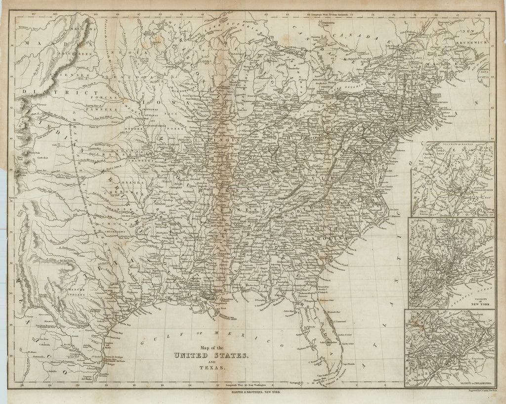
- Title: Map of the United States and Texas
- Author: Harper & Bros.
- Date: 1844
- Medium: Engraving
- Condition: Good - age toning, light foxing, fold lines, trimmed left-hand margin
- Inches: 22 3/4 x 17 3/4 [Image]
- Centimeters: 57.79 x 45.09 [Image]
- Product ID: 101279
Map of the United States and the Republic of Texas, published in New York by Harper & Bros. Contains three inset maps: Vicinity of Boston, Vicinity of New York, and Vicinity of Philadelphia. In Texas, labels cities such as Houston, Austin, Galveston, Matagorda, Richmond, Goliad, San Antonio de Bexar, Liberty, and Nacogdoches. Map also depicts features such as Galveston Bay, Sabine Lake, Matagorda Bay, Laguna Madre, Aransas Bay, and Corpus Christi Bay. Labels the locations of Native peoples and includes general notes about terrain and topography. Map extends northeast to show New Brunswick, Canada and part of Nova Scotia.


