
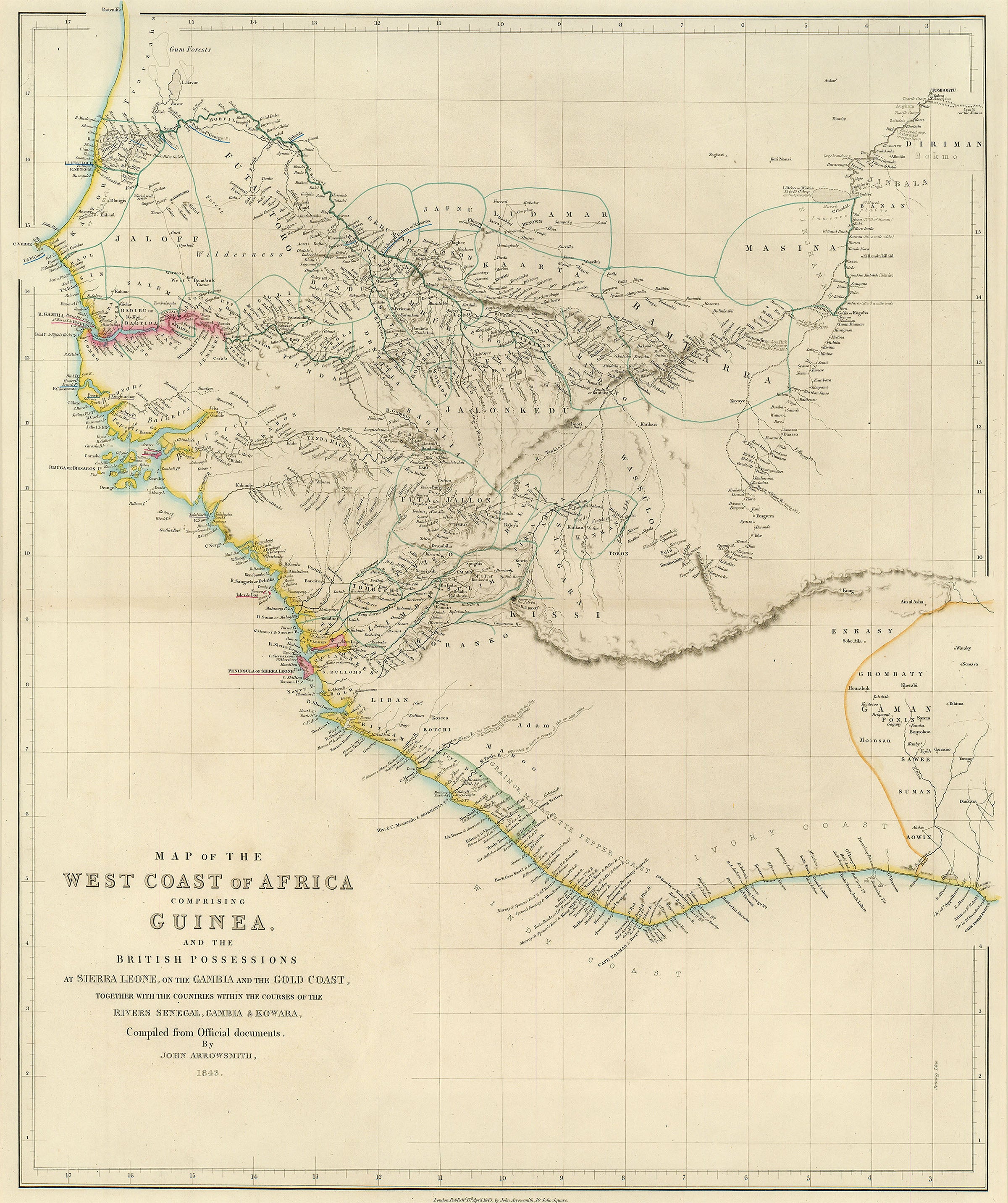
- Title: Map of the West Coast of Africa
- Author: John Arrowsmith
- Date: 1843
- Medium: Hand-colored steel engraving
- Condition: Very Good Plus - minor surface dirt, age toning, light wear along issued center fold
- Inches: 21 x 24 1/2 [Image]
- Centimeters: 53.34 x 62.23 [Image]
- Product ID: 313011
Map of the West Coast of Africa Comprising Guinea, and the British Possessions at Sierra Leone, on the Gambia and the Gold Coast, Together with the Countries within the Courses of the Rivers Senegal, Gambia & Kowara, Compiled from Official documents, by John Arrowsmith, 1843.
Map of west Africa by John Arrowsmith (1790-1873), nephew of British cartographer Aaron Arrowsmith (1750-1823). Along with his cousins, John continued the Arrowsmith firm following his uncle's death. Map depicts present-day Senegal, the Gambia, Guinea-Bissau, Guinea, Sierra Leone, Liberia, Côte d'Ivoire, and Mali. Includes labels indicating major cities, regions, and topographic features.