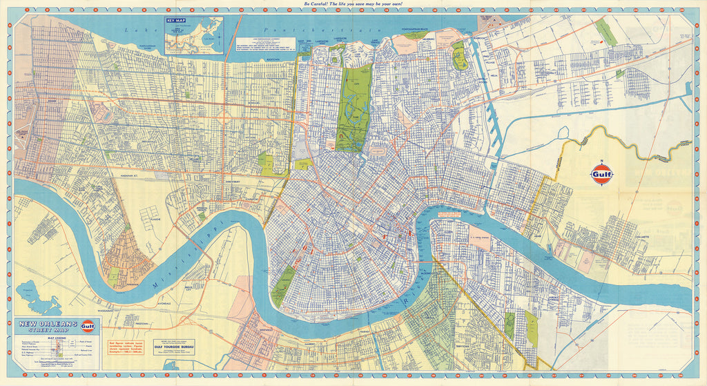
- Title: New Orleans Street Map
- Author: Gulf Oil Corp.
- Date: 1966
- Medium: Chromolithograph
- Condition: Very Good Plus - minor separations in margins at issued folds
- Inches: 33 x 18 [Paper]
- Centimeters: 74.93 x 45.72 [Paper]
- Product ID: 317020
Map of the city of New Orleans, Louisiana published by the Gulf Oil Corporation in 1966. Shows the old city and surrounding neighborhoods between the Mississippi River and Lake Pontchartrain. Legend in lower left corner indicates highways, airports, railroad lines, streets, parks, and golf and country clubs.


