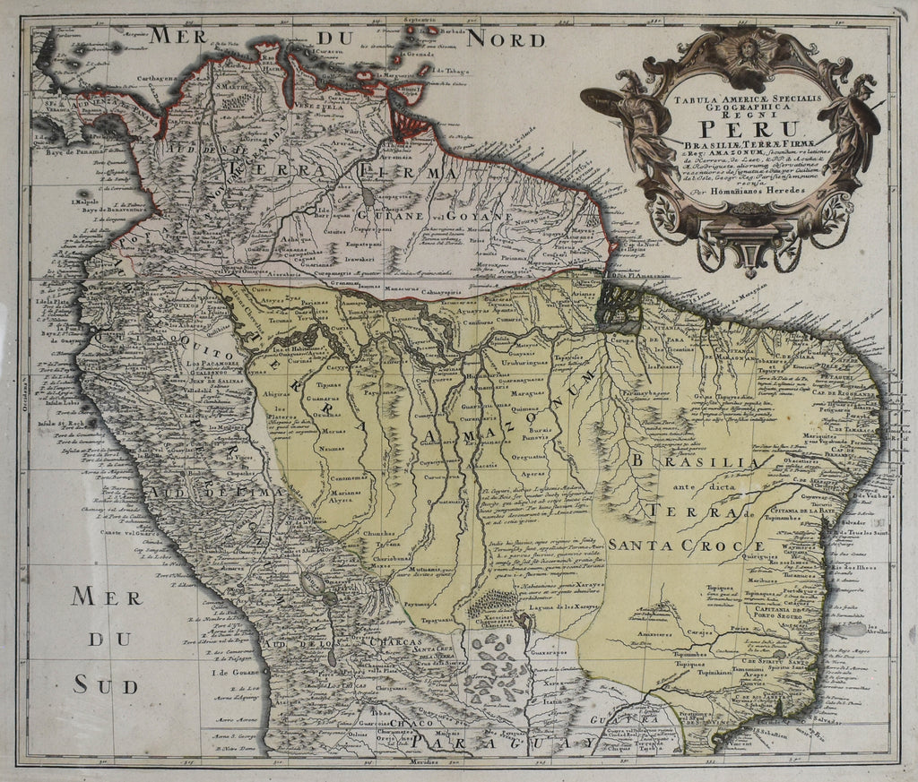
- Author: Homann Heirs
- Date: 1740
- Medium: Hand-Colored Copperplate Engraving
- Condition: Very Good Plus
- Inches: 23 x 20 [Image]
- Centimeters: 58.4 x 50.8 [Image]
- Product ID: 222010
Full Title: "Peru"
This beautiful antique map by Homann Heirs was printed in 1740 and depicts Peru, along with the northern half of South America and Central America during the Spanish Colonial era.
Johann Baptist Homann was born on March 20, 1664, in Oberkammlach, Bavaria, Germany. He studied theology as a young man, but eventually converted to Protestantism and became a civil law notary in Nuremberg. In 1702, he founded his own publishing house, which specialized in maps and atlases. Homann quickly became one of the leading cartographers in Europe, and in 1715 he was appointed Imperial Geographer by Emperor Charles VI.
Homann's maps were known for their accuracy and detail. He used the latest cartographic techniques, and he also employed a team of skilled engravers and printers. Homann's maps were widely used by scholars, explorers, and merchants, and they helped to spread knowledge about the world during the 18th century.
Homann died in Nuremberg on July 1, 1724. His publishing house continued to operate under the leadership of his son, Johann Christoph, and his heirs. The Homann publishing house remained in business until 1852.


