- Author: Rev. E. Patteson
- Date: 1804
- Medium: Hand-Colored Copperplate Engraving
- Condition: Very Good
- Inches: 11 x 9 [Image]
- Centimeters: 27.9 x 22.8 [Image]
- Product ID: 233164
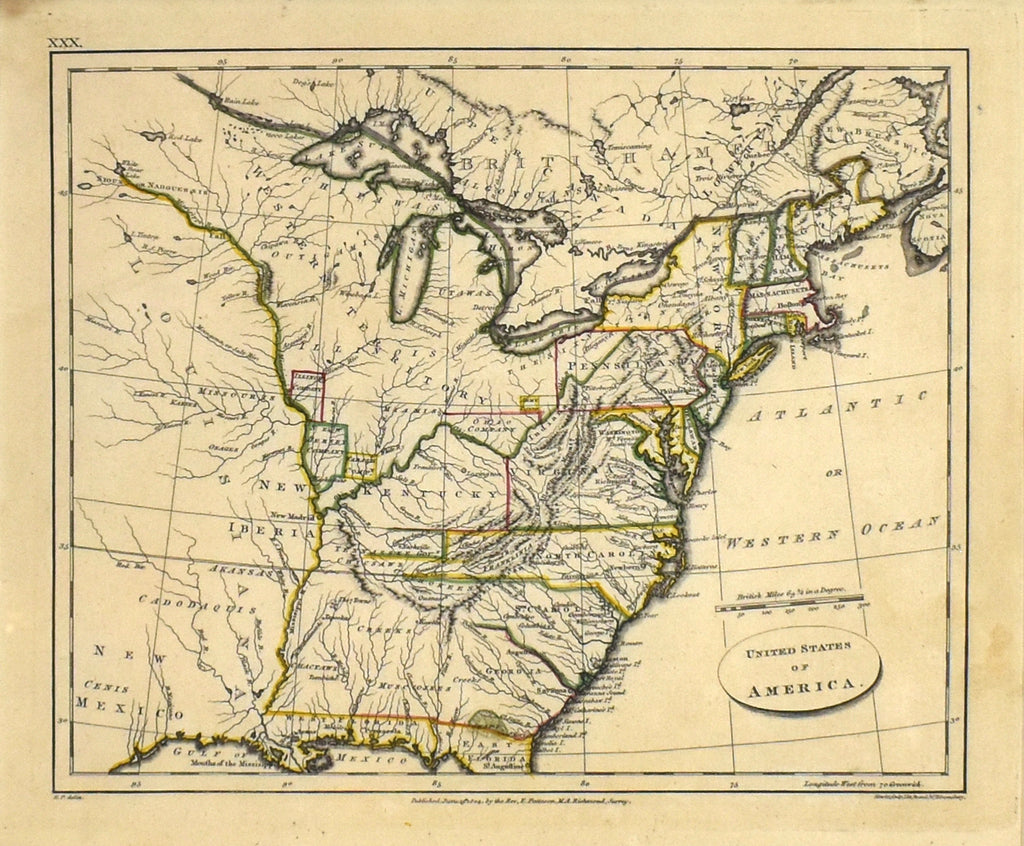
Full Title: "United States of America"
This wonderful antique map was produced by Rev. E. Patteson in 1804 and depicts the Unites States of America as it was at the time, including the States of New York, Maine, Vermont, Massachusetts, New Hampshire, New Jersey, Pennsylvania, Virginia, Kentucky, North Carolina, South Carolina, Georgia and Florida. It also includes "Western Territory" and "British America". This piece presents a fascinating glimpse into our nation's early history.
The most significant characteristic of this map that drives its rarity and value is its inclusion of the State of Franklin. "The State of Franklin (also the Free Republic of Franklin or the State of Frankland) was an unrecognized and autonomous territory located in what is today Eastern Tennessee, United States. Franklin was created in 1784 from part of the territory west of the Appalachian Mountains that had been offered by North Carolina as a cession to Congress to help pay off debts related to the American War for Independence. It was founded with the intent of becoming the fourteenth state of the new United States."


